The Monitor My Watershed® data portal lets you share your Leaf Pack Network® data with the world! It also lets you explore sensor datasets from EnviroDIY™, a do-it-yourself environmental science and monitoring community. Monitor My Watershed, Leaf Pack Network, and EnviroDIY are all part of the WikiWatershed® Toolkit.
How It Works
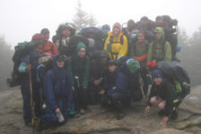
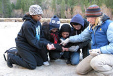
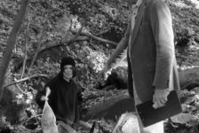
- Conduct your project following the procedures in the Leaf Pack Network Manual or Rock Pack Experiment Manual.
- Sign up for a Monitor My Watershed account.
- Register your project site and enter your data.
- Explore your data and those contributed by others.
Detailed instructions can be found on the Leaf Pack Data Help page on WikiWatershed.org.
New and Improved
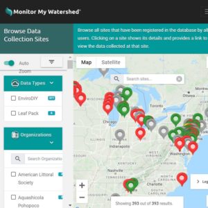
Place-based display: The earlier Leaf Pack Network database displayed projects in a list. With Monitor My Watershed, project sites are displayed on a map, making it easier to find sites that interest you. Because of this change, you will now be required to enter latitude and longitude data for your leaf pack or rock pack project site. There are numerous methods for determining lat/long; you can do it while you are at the site or later when you are at a computer.
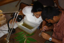
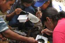
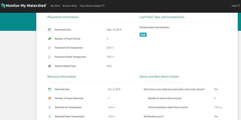
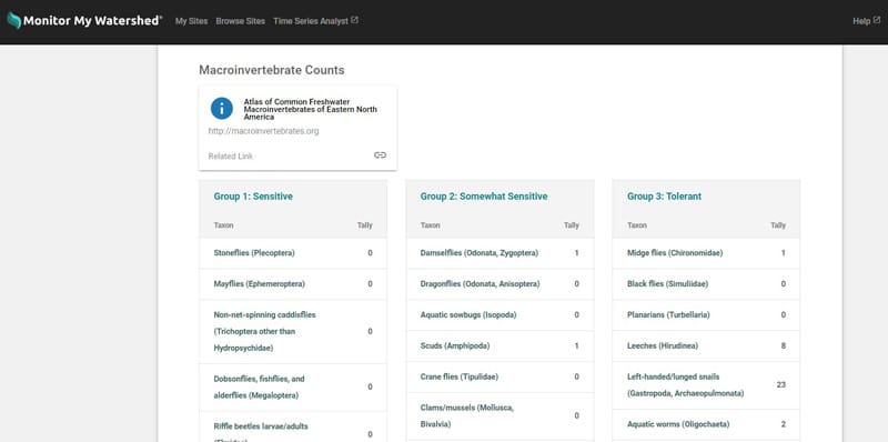
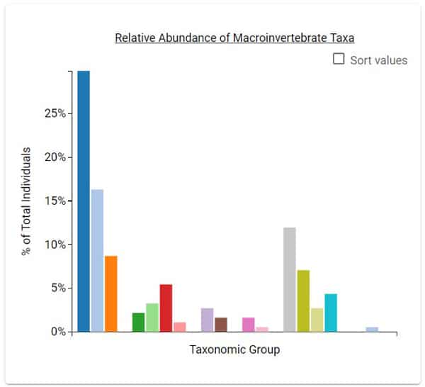
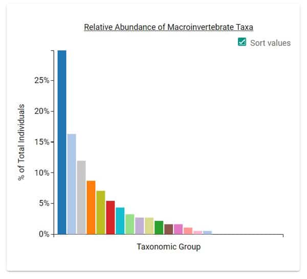
Project details and summary analysis all on one page: You’ll find leaf/rock pack placement, retrieval, and composition data; storm and non-storm events; macroinvertebrate counts; and summary analysis on a single page.
(Click on an image to enlarge.)
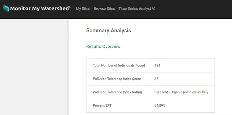
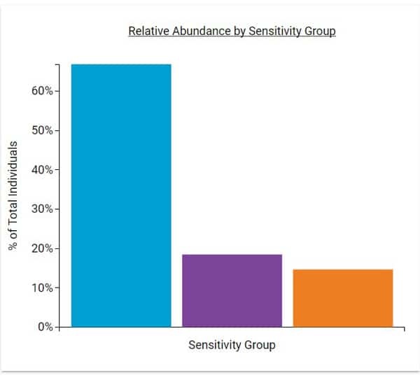
In addition to a table with an overview of the results, you’ll see two graphs of macroinvertebrate data: relative abundance by sensitivity group and relative abundance by taxa. The second graph can be sorted!
Try It Out!
You do not need to register or log in to browse data shared by other Leaf Pack Network members.
- Click on “Browse Sites” in the Monitor My Watershed main menu.
- In the “Browse Data Collection Sites” sidebar, under “Data Types,” check the “Leaf Pack” box.
- Click on a map marker and then on the “View data for this site” link.
- Scroll down to the “Macroinvertebrate Data at this Site” section.
- Click the “View Details” link for the data you’d like to view.
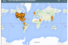
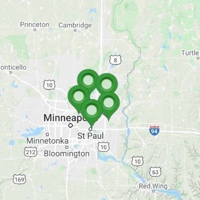
We encourage you to share your project data on Monitor My Watershed to help advance knowledge and stewardship of freshwater systems around the world. We look forward to seeing the leaf/rock pack pins multiply on the map, as they’ve done in the Minnesota due to the efforts of the Vadnais Lake Area Watershed Management Organization!
Please note: the data entry form on Monitor My Watershed reflects the macroinvertebrate sorting protocols in the Leaf Pack Stream Ecology Kit released in early 2020, which differ somewhat from earlier version.You can still enter macroinvertebrate data collected using the older protocols; see the Data page for details.